Beshear: Kentuckians should prepare for more snow, ice
Published 5:34 pm Sunday, February 14, 2021

- File photo)
|
Getting your Trinity Audio player ready...
|
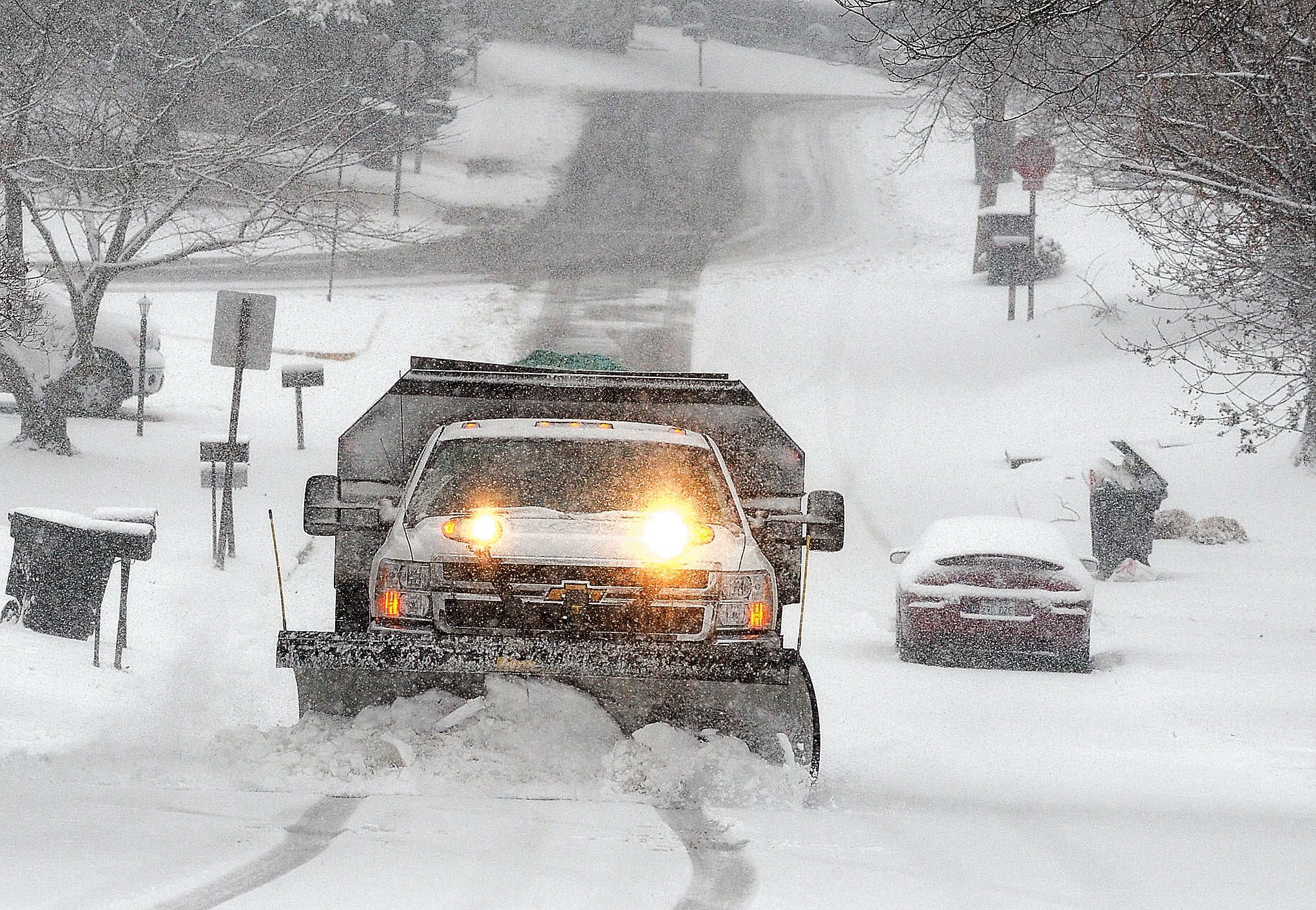
FRANKFORT, Ky. – Sunday, Gov. Andy Beshear said Kentuckians must prepare now for more rounds of winter storms from Sunday night through Thursday night, with the heaviest snow most likely Monday during the afternoon rush hour.
The greatest potential for significant snow accumulations includes much of Central Kentucky, with some areas projected to receive up to eight inches of snow. The heaviest snowfall will take place in a period between 3 p.m. EST Monday through 1 a.m. EST Tuesday. Snowfall rates may exceed 1 inch per hour.
The greatest potential for significant ice accumulations, from 0.01 to 0.50 inches, also will occur tonight through Tuesday and is expected south and east of a line from Tompkinsville to Richmond.
Another system, beginning Wednesday night into Thursday night, will bring an additional wintry mix across Kentucky.
“We need Kentuckians to prepare for another two rounds of storms bringing more snow, ice and freezing temperatures,” Gov. Beshear said. “As these storms arrive, we need Kentuckians to make a plan for their families to stay safe, warm and, if possible, off the roads.”
Maps from the National Weather Service’s 11:30 a.m. briefing are linked here.
Kentucky Transportation Cabinet crews plan to concentrate on maintaining mobility on interstates, parkways and highly traveled routes.
The potential for more downed trees and power lines adds to the hurdles crews will navigate as they assist with tree clearing operations to remove debris from roads. Northeastern crews continue to work on tree removal and road clearing activities following last week’s storm.
“We took advantage of the break in the weather this weekend to replenish salt inventories in our highway district maintenance facilities,” said Transportation Secretary Jim Gray. “Our crews will be working tirelessly to clear roads of snow, but ice poses serious challenges and risks to highway safety; so I continue to urge Kentuckians to restrict travel as much as possible.”
The Transportation Cabinet also reminds Kentuckians if you must be on the roads this week, to treat a dark traffic signal as a four-way stop, reduce driving speeds and wear your seatbelt.
These winter storms may cause additional downed power lines and power outages. If you experience a downed power line or power outage, please contact your local utility company. If possible, prepare for the need to use an alternate source of heat. Be aware of the dangers of alternate heat sources and carbon monoxide poisoning. Generators, camp stoves or charcoal grills should always be used outdoors and at least 20 feet away from windows. Never use a gas stovetop or oven to heat your home. Visit http://www.cdc.gov/co/guidelines.htm for more information.
Last Wednesday, the Kentucky Division of Emergency Management activated its State Emergency Operations Center (SEOC) to monitor earlier storm systems and coordinate with critical Emergency Support Function partners in transportation, law enforcement, power and utilities. The SEOC is currently activated at Level 4, but will transition to Level 3 at noon Monday, Feb. 15.
Last Thursday, Beshear closed state offices due to dangerous road conditions and issued a state of emergency as an initial winter storm blanketed much of the state in a wintry mix of snow and ice. Since Thursday, freezing temperatures and ice have remained throughout much of the state.
Snow and ice resources including traffic information, priority route maps and highway district news updates are available at snowky.ky.gov.
The governor will provide a virtual media briefing on the pending winter storm and the state’s response at 9:30 a.m. EST Monday, Feb. 15.


